Site Location
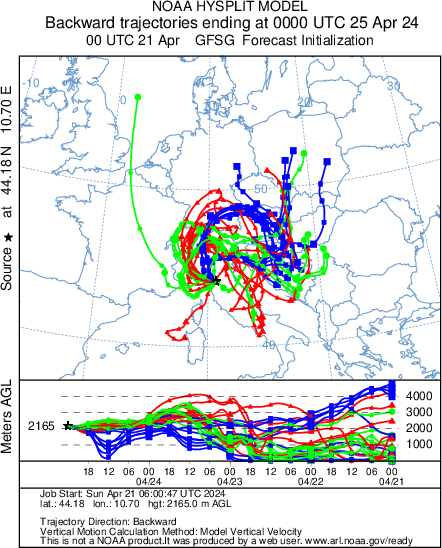
- Mt. Cimone (44°12' N, 10°42' E, 2165 m asl) is the highest peak of the Northern Apennines, the border line of two different climatic regions: the continental Europe northwards and the Mediterranean Basin southwards.
- The closest inhabited areas are small villages situated 15 km from and about 1100 m below the Laboratory, whereas major towns (500000 inhabitants) are situated in the lowlands about 60 km away (Bologna, Firenze) . The industrial areas are not closer than 40 km and 2 km lower. The closest roads with some traffic are 7 km far and 1 km lower.
- The Laboratory runs on electric energy only.
- Forest of conifers and beech trees grow up to 1600 m, so that the Laboratory is above the timberline. Only some patches of vegetation are on the top of the mountain
- The station is characterized by a completely free horizon for 360°.
Visualizzazione ingrandita dellamappa


